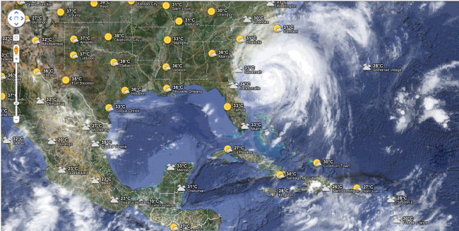
Because Hurricane Irene heads up the eastern seaboard and New York, where 250,000 people were evacuated due, Google Maps is providing update of its service real-time tracking of storms, as well as forecastsof rain and hurricanes impacts.

The service is available in the Google Crisis Response project, already used in the past for example for the earthquake in Haiti, and available here: http://crisislanding.appspot.com/
You can also check the new Google Maps Weather Forceast services :
 Available here.
